
It’s official. Our beautiful summer has come and gone. Luckily, we took advantage of our last hot, summer-like day and headed to the mountains!
We don’t have a car, so I’m always looking for train-accessible hikes. I didn’t realize it at the time, but Lenggries has a lot of options! I also didn’t realize Lenggries had a cable car and that I chose a hike that would essentially follow the cable car’s path. 🤦♀️

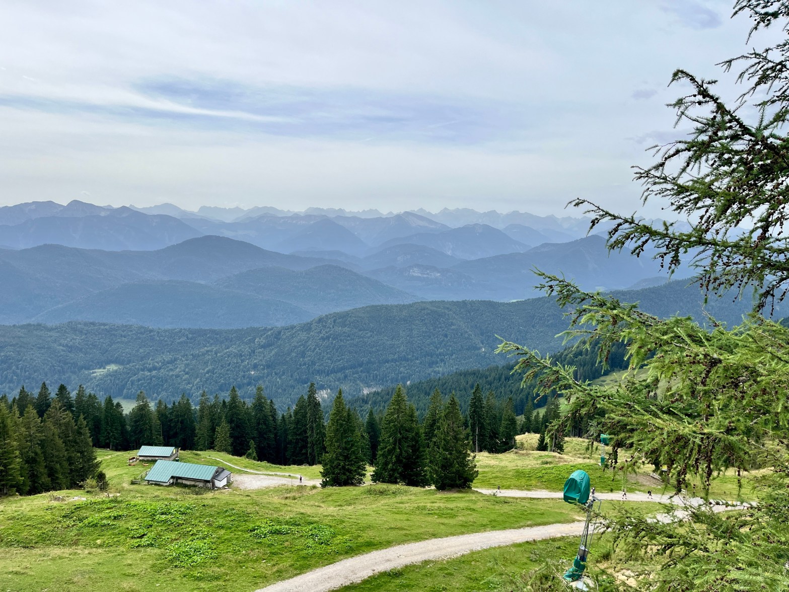
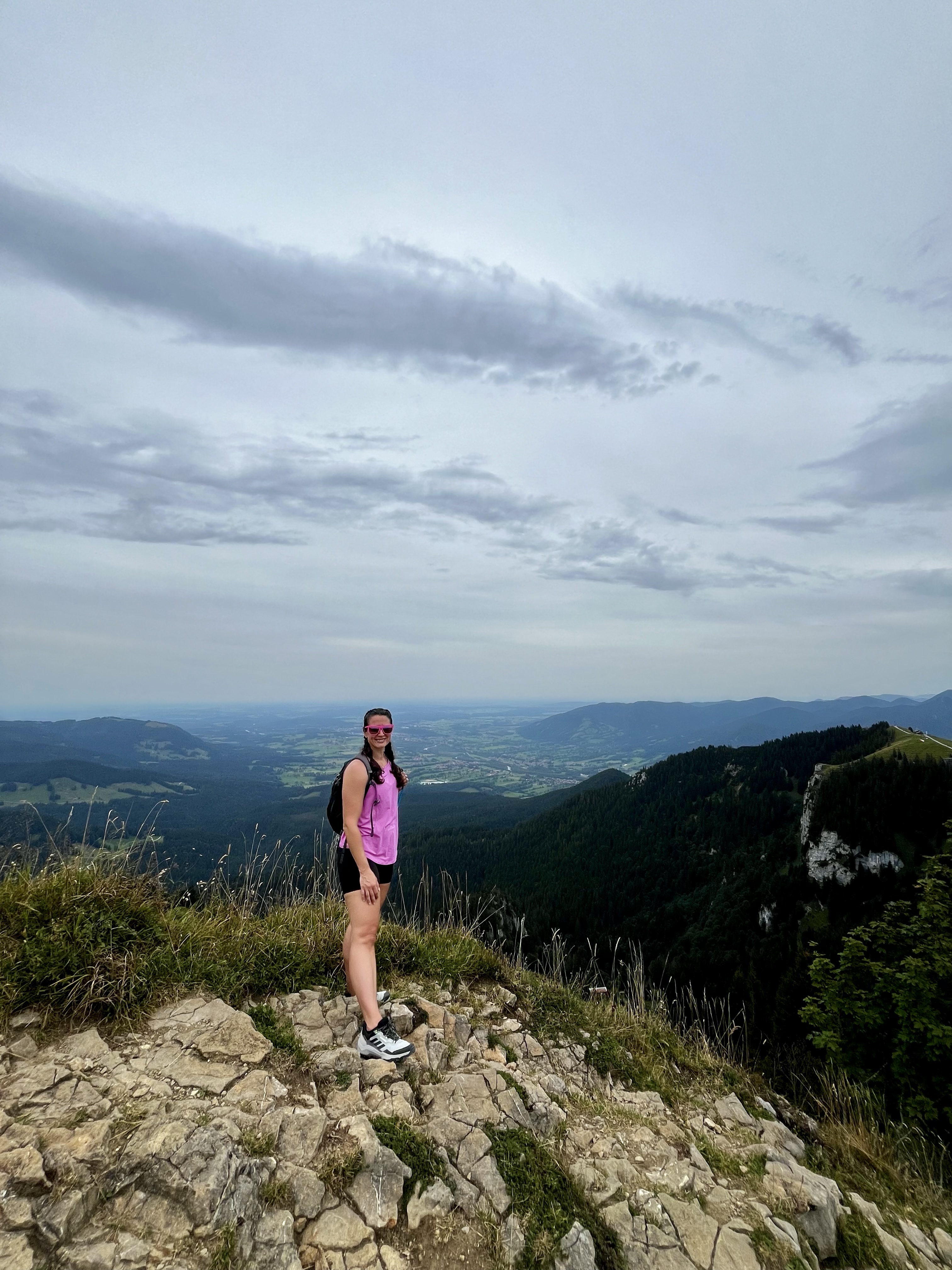
Our original plan was a circular hike to Brauneck, then back to Lenggries. However, our plans changed a bit once we realized there was a cable car. We indeed took the trail up to Brauneck, which was marked as “expert” on Komoot (the trail app) since it required “excellent fitness and sure-footedness.” The sure-footedness wasn’t an issue; the path itself was wide and unobstructed. However, we quickly understood why they recommended “excellent fitness.” We walked uphill for over two hours. The views on the way up were nice, at least!


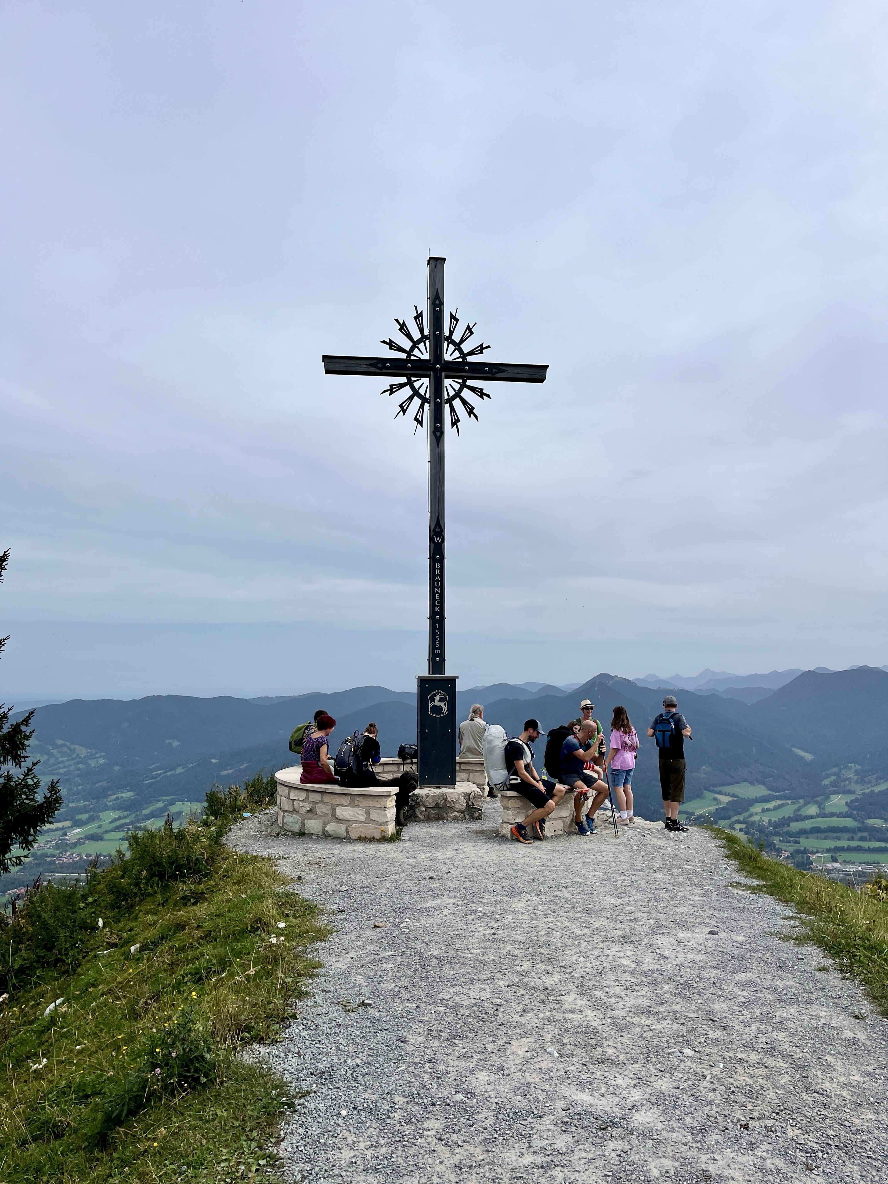
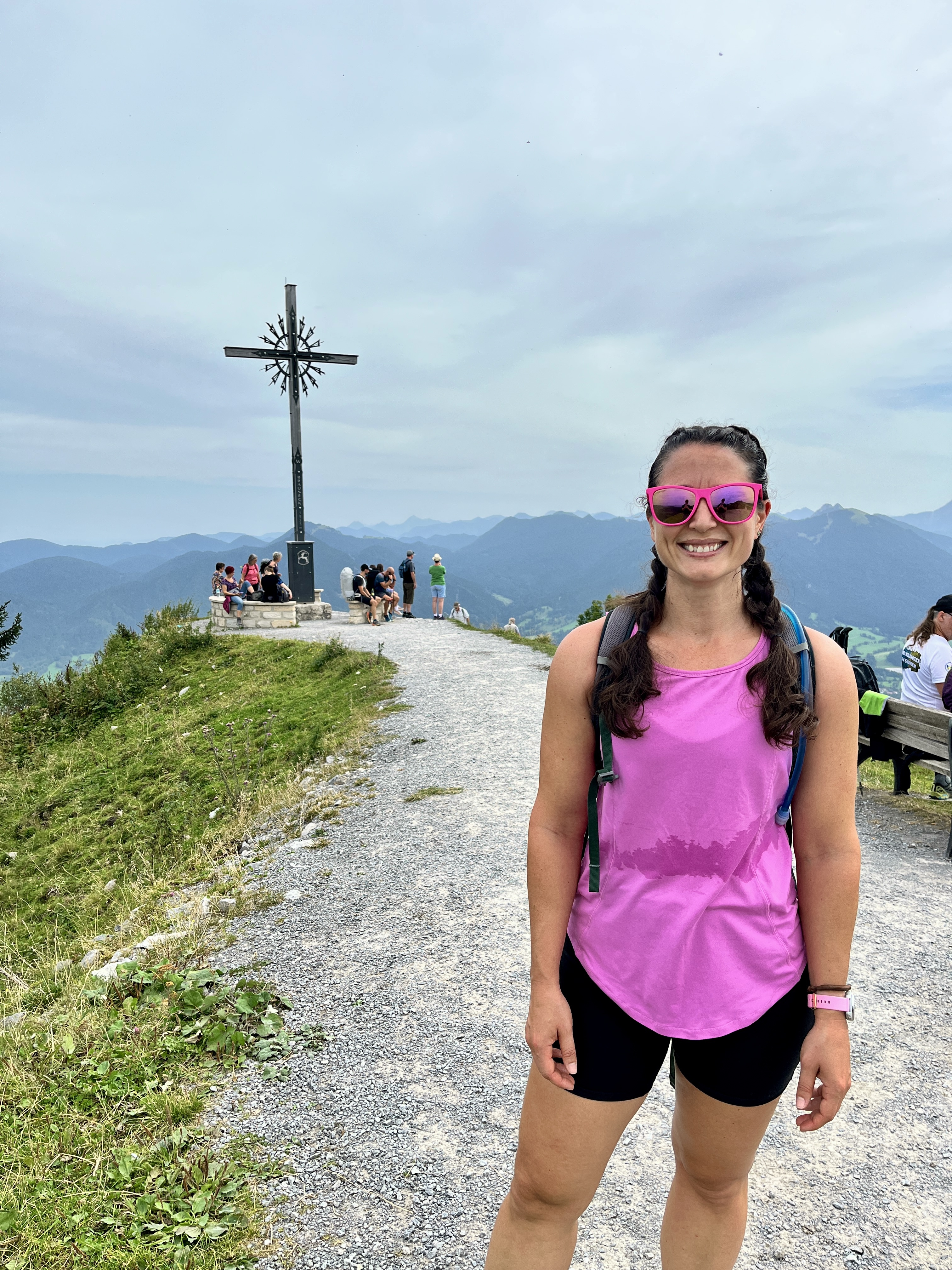
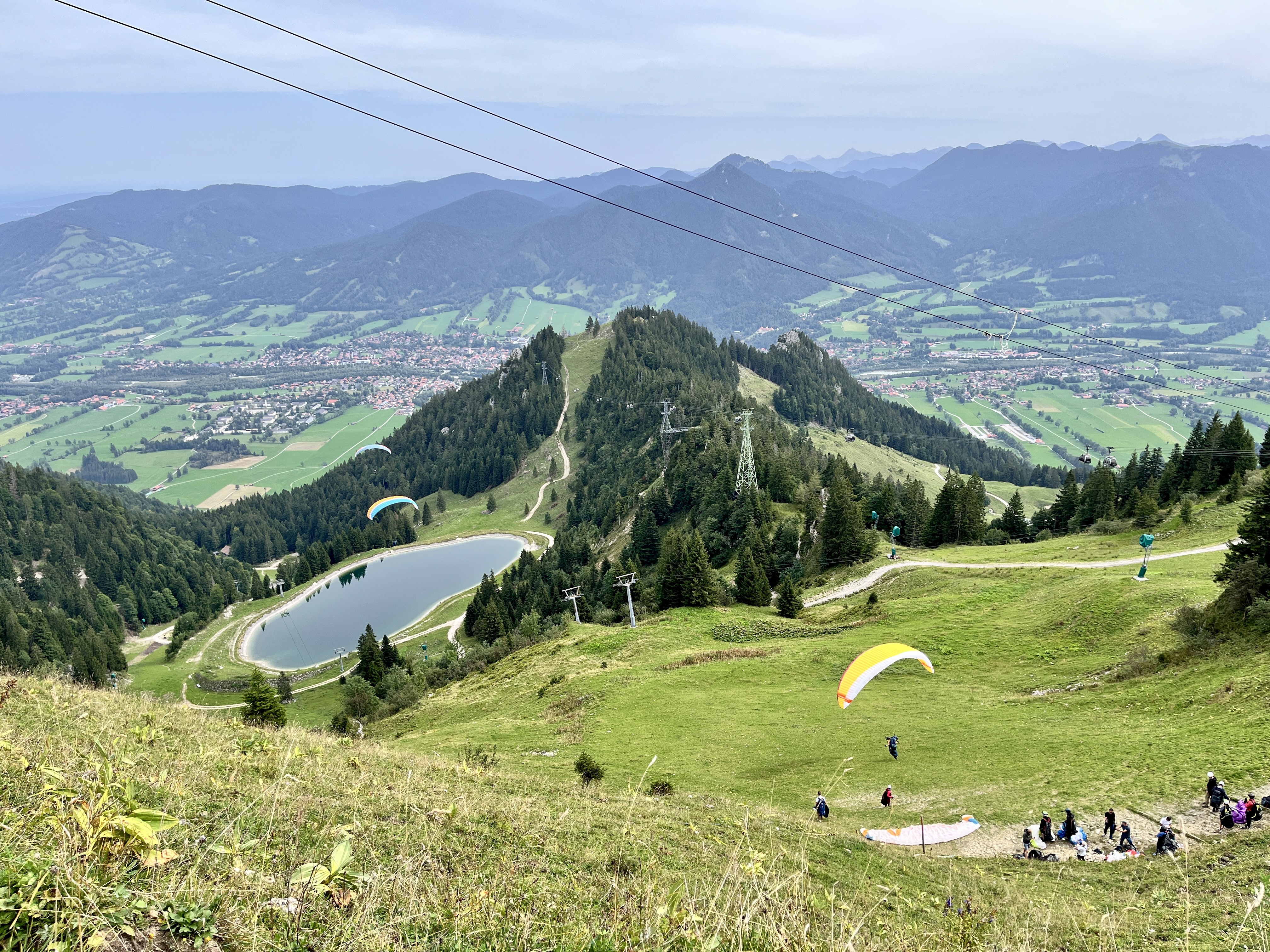
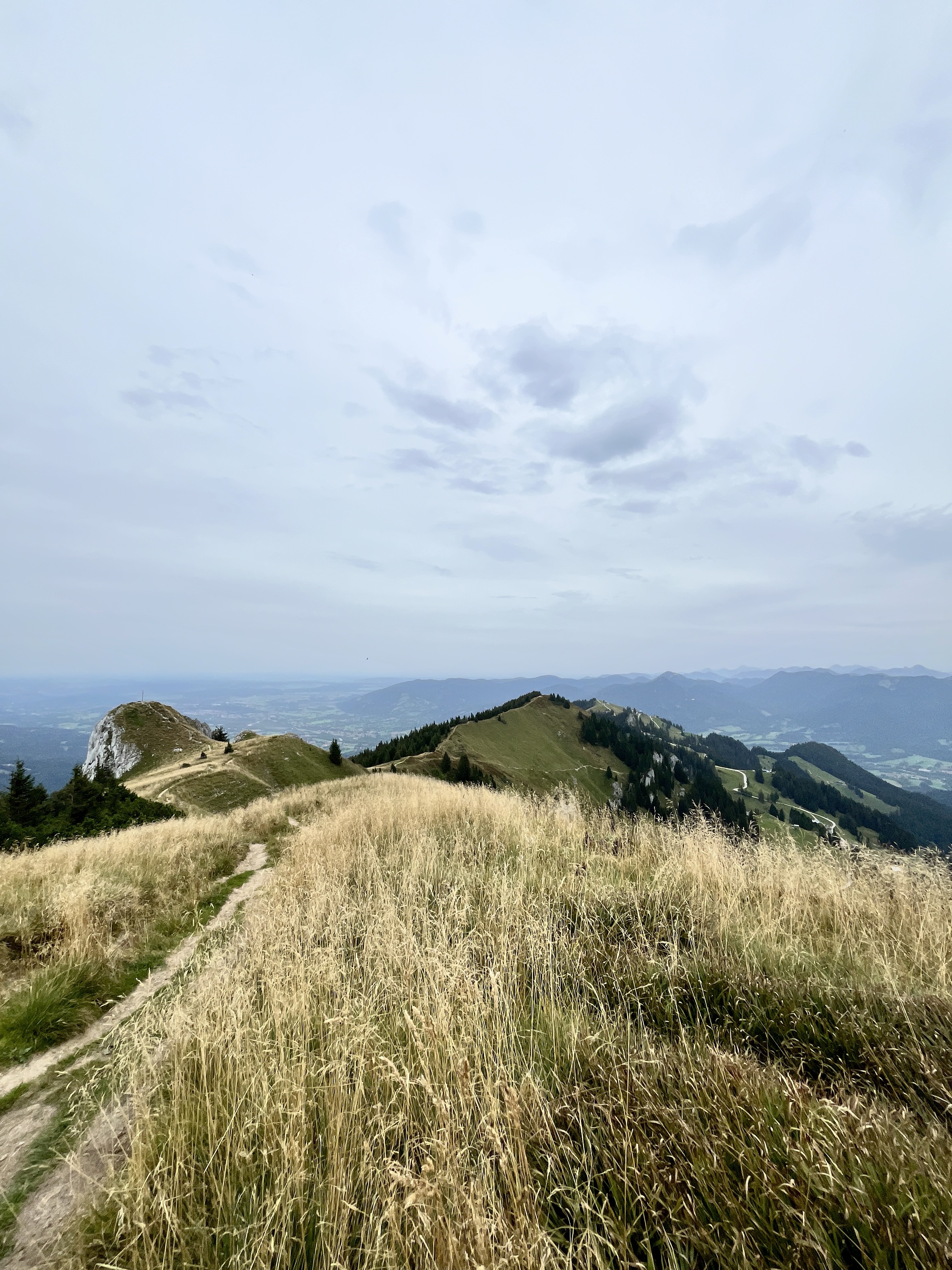
Once we made it to Brauneck, we realized we should have just started here. Forget the 2+-hour walk up, which was much less exciting than the views and other trail possibilities available from the summit. Here, there were two restaurants and at least 10 other trails, all of which were listed on a board that told you what trials (and other foot huts) were open that day and the approximate walking time. It was also a very popular paragliding spot, and it was really fun to watch them take off!
Most (smart) people took the cable car up, then branched out. So, we changed plans. We decided to take the cable car down, which gave us time to explore some, starting from Brauneck.


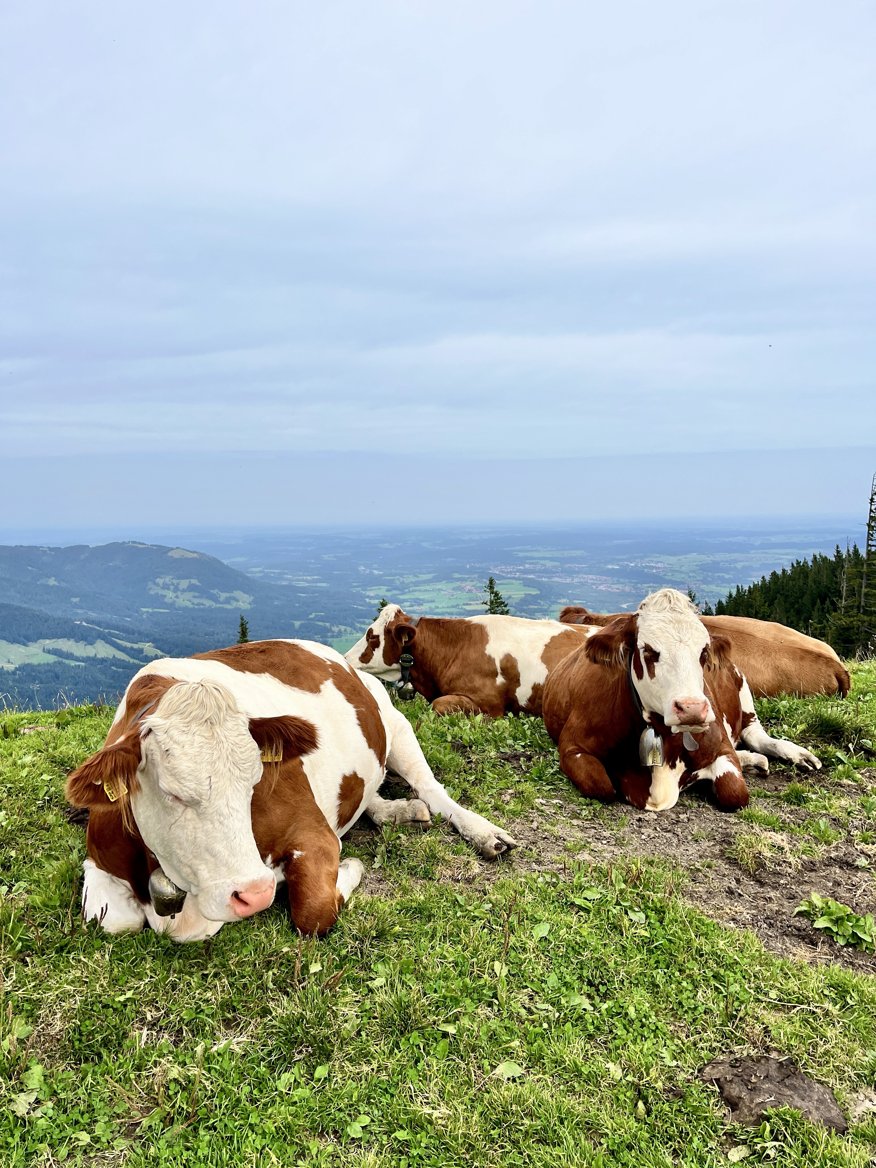
And, lucky us, there were some cute cute cows. Which, of course, I had to take a picture of, and Shane had to take a picture of me taking a picture of the cows.

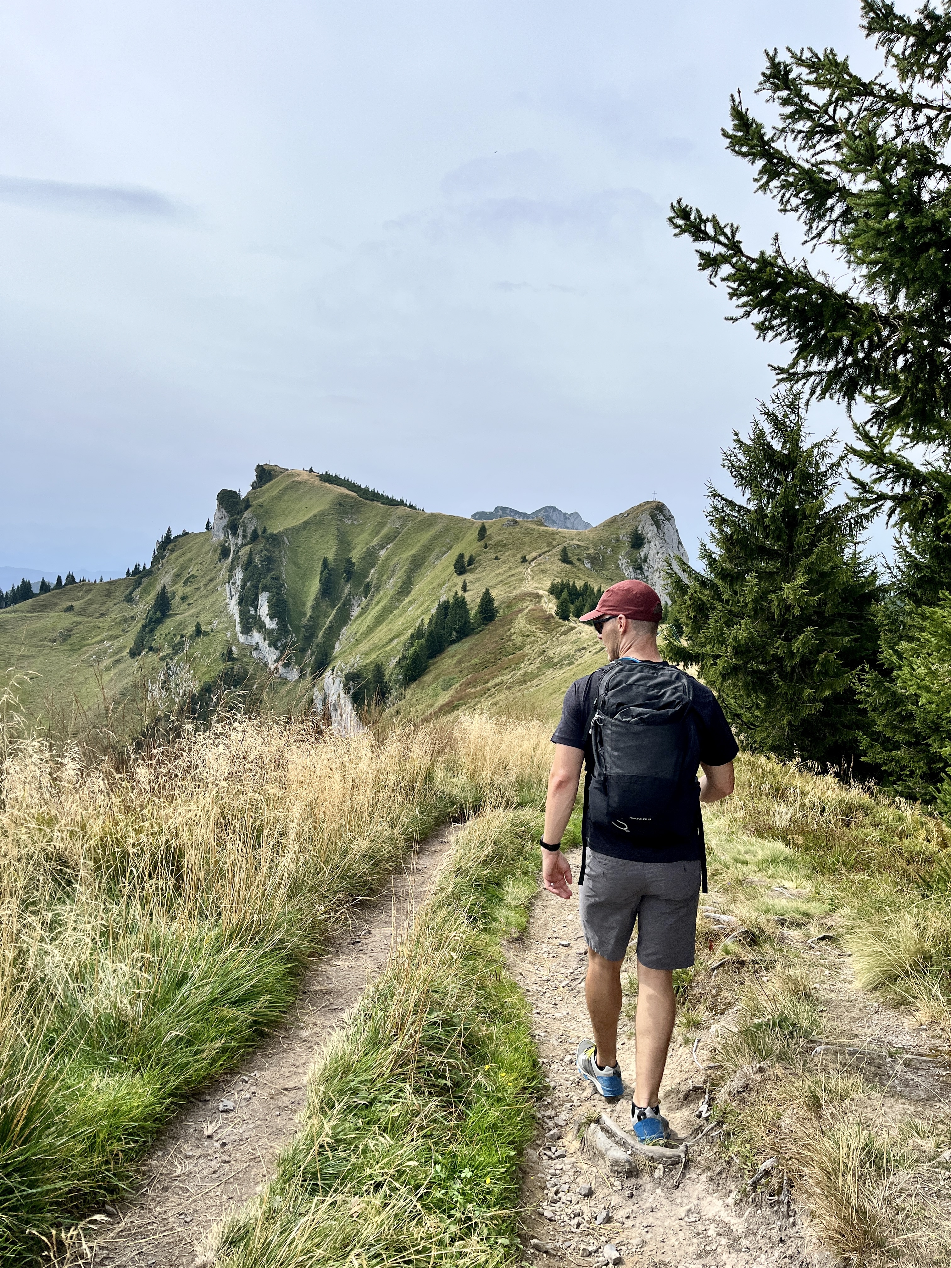
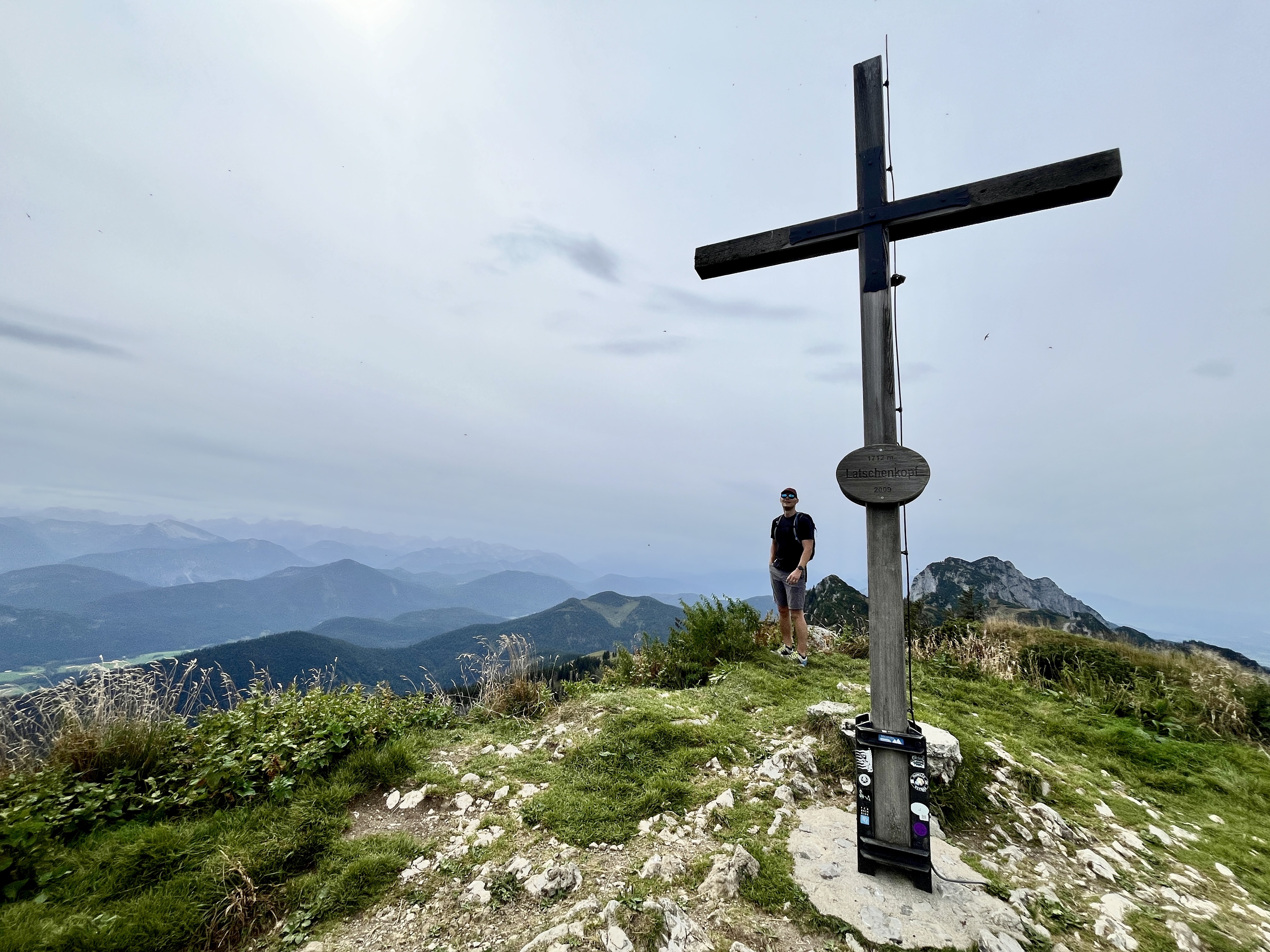
After lunch and an Apfelschorle (a sparkling apple juice, very refreshing!), we started our trek to Latschenkopf, which was an out-and-back hike of about an hour each way. While the path to Brauneck was more of a dirt road, the path to Latschenkopf was more trail-like, and I liked it!
All in all, it was another successful day! Want to do this yourself? Here are the details.
Practical Info
How to get there: Easy – by train! There is a regional train from Munich to Lenggries every 30 minutes. Bonus: this route qualifies for the Bayern Ticket, so it only costs €39 euros for 2 people (if you don’t have the Deutschland ticket) and gets you all-day access to local and regional transport.
Distance from Munich: ~1.5 hours by train.
Hike Direction: Take a left out of the train station and follow signs to the Brauneck Bergbahn (cable car). Once you’re in the area, you’ll see the typical yellow hiking signposts. We followed “Weg 9” to Brauneck.
Difficulty: The walk up to Brauneck was hard. It’s not a challenging path, but be prepared to walk uphill for at least 2 hours. The walk to Latschenkopf was moderate. The path required more sure-footedness, but the elevation gains weren’t bad.
Time: Depends on what you do. We walked about 14.5 km (9 miles) in ~5 hours total, not including the stop for lunch.
Tip: Bring cash for any purchases at the huts, and take the Bergbahn (€28 euros/pp; cards accepted) if you want to maximize your time up top, which I recommend!
Rating: ✅ Highly Recommended!
Our next big adventure is our first Oktoberfest! I’m excited to show off our full tracht. 😁
Until then, tschüss!

1 Comment