
Did you know that there are more than 400 lakes in Bavaria?! I didn’t either until I just Googled it, but now we both know. A while back, we saw two of those lakes in one day, thanks to a hike on der Prinzenweg, a path that runs from the Schliersee to the Tegernsee.

As mentioned, the hike starts at the Schliersee, which is a relatively small lake about an hour south of Munich by train. Since we started using the Deutschlandticket, which gives us access to all local and regional transportation, I’ve been on a mission to put that ticket to use. This hike was great for that since you start and end at each lake’s Bahnhof (train station). Step off the train and head right toward the lake for your first nice view!

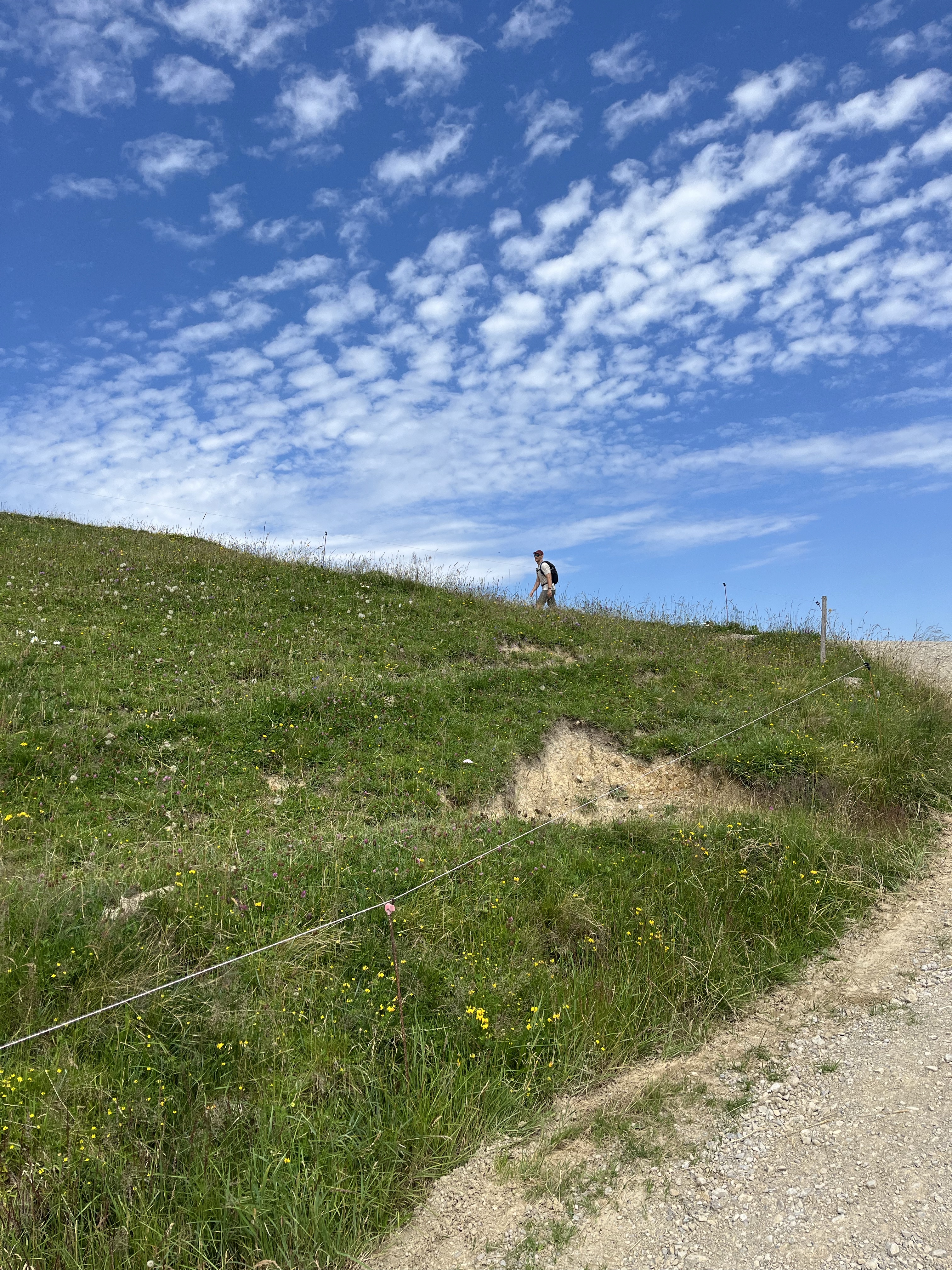
If you’re facing the lake, the path towards Tegernsee follows the lake to the right. There are several ways to get there, but all are marked on the typical yellow signposts. Our first point of interest was the Kreuzbergalm with a spectacular view and a hut, which made for a nice lunch spot. This is definitely the uphill portion of the hike, but nothing was too steep… until the last bit before the hut (of course).


We packed a lunch, but food was available at the hut. As were beers and radlers, natürlich.


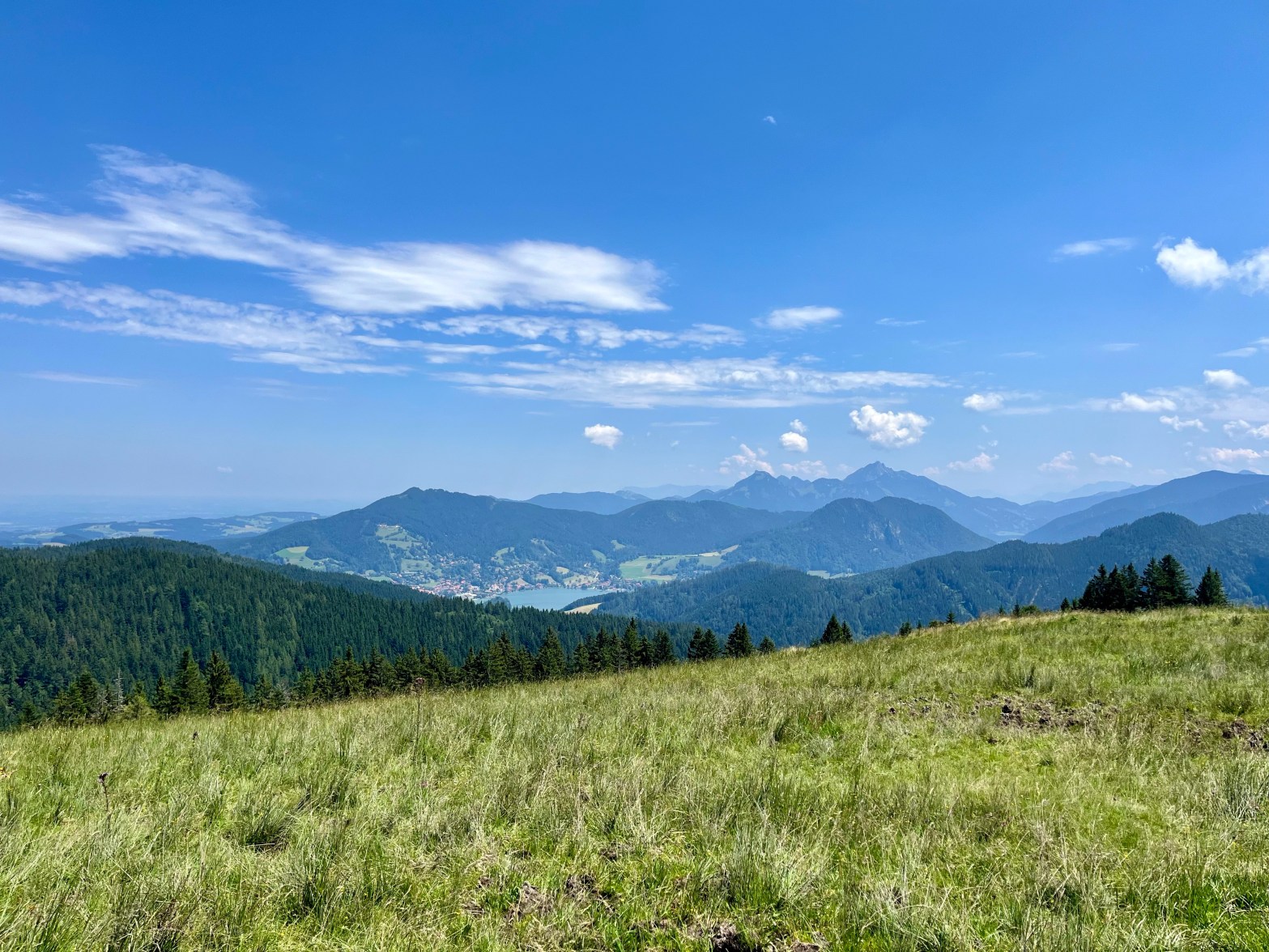
Our next point of interest was the Gindelalmschneid, which was our summit for this hike at ~1335 m (~4380 feet). From here, we had a 180 degree view down into the valley, which was beautiful. There is another hut here as well, but the walk from the Kreuzbergalm wasn’t that far (definitely less than an hour), so we didn’t stop again.

From this point on, it’s downhill, baby! Which was actually pretty terrible by the end. The walk down is quite steep, at least steep enough to make your toes hurt from being shoved into the front of your shoes for 3 or so kilometers.

Eventually, though, you’ll be rewarded with a view of the Tegernsee! Followed by more downhill walking to get to the lake. 🤦♀️

As I mentioned before, the hike ends at the train station, so hopping on a train to head back is easy. However, if you want to be a proper German hiker, you can continue down to the lake for a celebratory beer next to the water. We went on a Sunday, so not much was open. Luckily, the Seehouse Cafe (next to the swimming area!) is open every day, so we kicked off our shoes (literally) and enjoyed the view!


Practical Info
How to get there: Easy – by train! There is a regional DB train from Munich to Schliersee and from Tegnersee back to Munich. Bonus: this route qualifies for the Bayern Ticket, so it only costs €39 euros for 2 people (if you don’t have the Deutschland ticket) and gets you all-day access to local and regional transport.
Distance from Munich: ~1 hour by train each way.
Hike Direction: From the train station at Schliersee, take a right and head towards the lake. Then, follow the yellow signs for Tegnersee.
Difficulty: Moderate. It’s not a challenging path, but the elevation gain and loss can be challenging.

Time: The hike is ~15 km (~9 miles), so it took us ~5 hours including a generous stop for lunch.
Tip: Bring cash for any purchases at the huts.
Rating: ✅ Highly Recommended!
All in all, it was a great day and a challenging (but not too challenging) hike! If you’re looking for a nice day-trip from Munich, I’d definitely recommend this.

Until the next adventure.
Tschüss,
